Waikīkī Ahupuaʻa
What is an ahupuaʻa?
Over time, Hawaiians developed a unique land management system. Coinciding with Kirch’s Expansion Period, Māʻilikūkāhi, was said to have established the ahupuaʻa land division in the 1500s. Ahupuaʻa are further divisions of the moku and were used for the purposes of collecting tax tributes to the chief and efficiently managing land use.
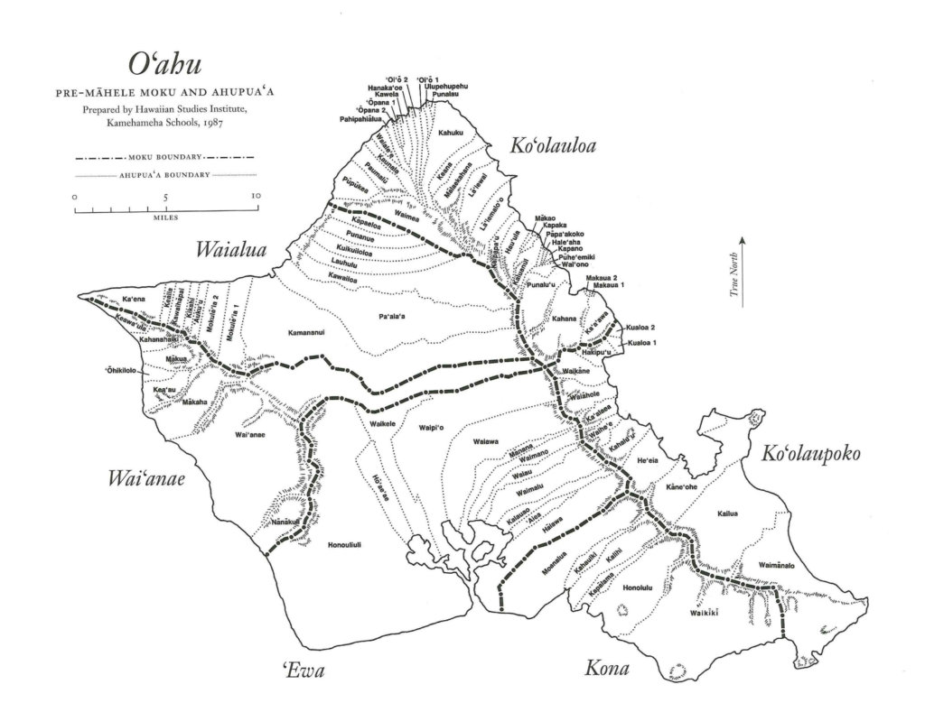
An aliʻi nui was more of an exalted steward of the land. He partitioned it into districts under his aliʻi, or high chiefs, and these districts were further divided into ahupua‘a. The aliʻi supervised land use through their agents, called konohiki. The ahupua‘a boundaries usually run from the seashore to the mountains and encompass all of the environmental zones necessary to support the Hawaiian lifestyle. The ahupua‘a are further divided into ʻili. These were sections allotted to families who lived on and cultivated the land. Mānoa Valley, as part of the greater ahupuaʻa of Waikīkī, contains an agricultural zone and an upland forest zone.
As a place of agriculture, Mānoa was well suited to the cultivation of a variety of crops. Up until the early 19th century, a few chiefs had valley retreats on the western slopes, but their primary residences were near the shorelines of Waikīkī and later, near Honolulu harbor.